

The annual compilation of the top 10 weather events by Environment and Climate Change Canada encompasses stories from every region of the nation.
The federal agency has been publishing this list since 1996, typically focusing on significant weather occurrences that impacted Canadians. The incidents highlighted in the 2025 edition, unveiled on Thursday, are not ranked in any specific sequence.
“This year was remarkable in many ways,” said Jennifer Smith, a national warning preparedness meteorologist with Environment and Climate Change Canada, during a press briefing.
However, she noted that throughout the 30 years of this list’s existence, “one constant remains: the strength and resilience of Canadians.”
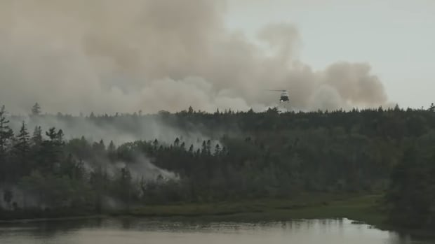
Among the events featured this year was Canada’s second-most devastating wildfire season recorded. In 2025, over 8.9 million hectares were scorched, following the catastrophic wildfires of 2023 that devastated 16.1 million hectares.
During the wildfire season of 2025, more than 75,000 individuals had to evacuate their residences, with nearly 60 percent of them hailing from First Nation communities.
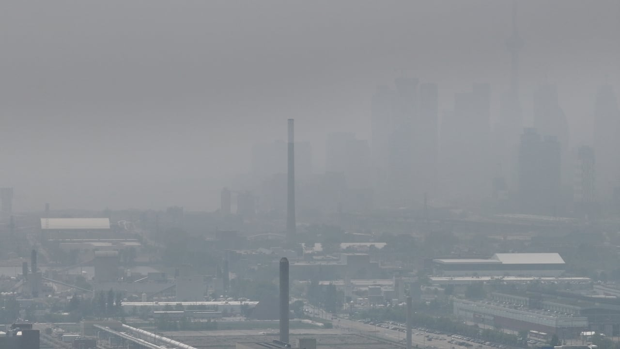
In June, smoke from wildfires in Western Canada enveloped Toronto, obscuring the skyline. (Patrick Morrell/CBC)
The regions hit hardest included Saskatchewan and Manitoba, where enormous wildfires not only spread but also merged. Smoke permeated nearly every corner of Canada.
Drought Across Canada
Contributing to these wildfires was a drought affecting the entire country. By the end of September, the Canadian Drought Monitor indicated that 85 percent of Canada was facing unusually dry conditions or drought, impacting approximately 76 percent of the nation’s farmland.
Fierce wildfires, gigantic storms, and significant floods characterized the year, but there were also some positive climate developments in 2025. CBC meteorologists Ryan Snoddon and Johanna Wagstaffe join What on Earth host Laura Lynch to analyze the impacts of human-induced climate change on this year’s weather.
»»» Listen to the complete episode of What On Earth here:
https://www.cbc.ca/listen/live-radio/1-429-what-on-earth/clip/16186078-our-forecasters-look-back-year-weather-climate
New episodes of What On Earth are released every Wednesday and Saturday. Tune in on your preferred podcast platform or on-demand at CBC Listen. The radio show airs Sundays at 11 a.m., with a 11:30 a.m. broadcast in Newfoundland and Labrador.
This situation is not new for residents in the West, especially in British Columbia, where a drought that initiated in 2021 has worsened.
Additionally, Ontario faced drought conditions during the summer months, particularly in its eastern regions. Water levels in the St. Lawrence River fell so low that boats became stranded. The apple and pumpkin harvests were adversely affected.
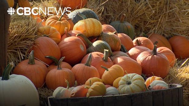
With Halloween just six weeks away, those searching for larger pumpkins may find it challenging this season. CBC’s Ilka Sweeting-Rodgers provides more insight.
A Surprising End to Summer
As summer appeared to be coming to a close in August, Western Canada encountered an unexpected twist.
From late August to early September, temperatures in British Columbia skyrocketed. Between August 22 and September 8, over 200 daily maximum temperature records were broken in the province.
-
This is our second-worst wildfire season on record — and could be the new normal
-
Here’s how many ‘risky heat’ days climate change added to our summer this year
In Lytton, B.C., a town devastated by wildfires in 2021 and where a national temperature record was established that year, temperatures reached 40 C or more for consecutive days from August 24 to 27.
However, Ashcroft set a new provincial and national record when temperatures climbed to 40.8 C on September 3.
Flooding in Tuktoyaktuk
At the end of August, Tuktoyaktuk, N.W.T., was struck by severe flooding as a robust low-pressure system impacted the coastal area.
On August 30, a system originating from the Beaufort Sea moved east, bringing harsh winds and significant rainfall to various communities in the vicinity.
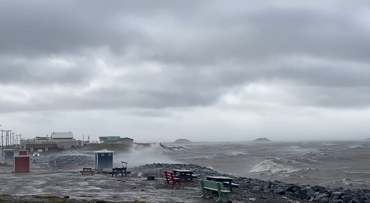
Strong winds batter the coastline of Tuktoyaktuk, N.W.T., generating powerful waves. (Dez Loreen/CBC)
Winds exceeding 70 km/h lashed Tuktoyaktuk for nearly six hours, resulting in a storm surge that reached 2.62 metres, the highest ever recorded in the hamlet.
These highlights represent just a portion of the top 10 stories. For additional details, including devastating summer storms in the Prairies, snowstorms in central and eastern Canada, and an ice storm that incapacitated parts of Ontario, visit Environment and Climate Change Canada’s website.